

Key Takeaways
The Parkway at a Glance
Stretching 469 miles through Virginia and North Carolina, the Blue Ridge Parkway is one of America's most celebrated scenic drives — and one of the most visited units of the National Park System. Completed over decades of New Deal-era construction, it links Shenandoah National Park in the north (at Rockfish Gap, Virginia) to Great Smoky Mountains National Park in the south (near Cherokee, North Carolina).
The parkway follows the spine of the southern Appalachians, meaning elevation is the central variable shaping your experience. From pastoral meadows at 1,000 feet to exposed rocky summits topping 6,000 feet, the landscape and climate shift considerably over the course of a full drive. Milepost markers (MP) run from 0 in the north to 469 in the south — travelers use them as a universal reference for planning stops.
If you're weighing whether to road trip at all, our guide to road trips vs. flying can help you decide whether the drive makes sense for your situation.
469 miles
Total parkway length
The Blue Ridge Parkway runs from Rockfish Gap, Virginia to Cherokee, North Carolina, according to the National Park Service.
6,047 ft
Highest point on the parkway
Richland Balsam (MP 431.4) is the highest elevation reached by any US highway east of the Mississippi River.
15+ million
Annual visitors
The Blue Ridge Parkway consistently ranks among the most visited units in the entire National Park System.
Low Elevations: Virginia's Rolling Foothills (Below 2,500 ft)
The northern third of the parkway — roughly MP 0 to MP 120 — hugs the crest of the Blue Ridge at relatively modest elevations. Here the terrain is gentler, the roadway broader, and the scenery characterized by open meadows, split-rail fences, and pastoral farmland views that feel quintessentially Appalachian.
Key stops in this stretch include Humpback Rocks (MP 5.8), where a short but steep trail leads to a panoramic summit, and the James River Visitor Center (MP 63.6), the parkway's lowest point at just 649 feet. Otter Creek flows alongside the road here, offering lovely picnic spots and an easy trail.
Weather at these elevations is the most forgiving. Summer highs typically stay in the mid-70s°F, and the section remains drivable through most of November. That said, morning fog is common in valleys year-round and can reduce visibility considerably — slow down and use headlights.
Start driving by 7 or 8 a.m. to catch overlooks in golden-hour light before morning fog burns off — and before weekend crowds arrive at popular pullouts.
Early morning light is ideal for photography and solitude on the parkway, and fog — while beautiful — can obscure views at overlooks for hours after sunrise.
Keep a paper copy of milepost-based stop lists in your vehicle; cell service drops out for long stretches, and offline apps don't always load reliably in deep valleys.
The parkway's rural corridor and valley terrain create persistent dead zones that catch unprepared travelers off guard.
Mid Elevations: Ridgelines and River Gaps (2,500–4,000 ft)
From roughly MP 120 south through the North Carolina state line and beyond to approximately MP 300, the parkway climbs into its middle band. This is where the drive truly earns its reputation — sweeping ridgeline views open up, rhododendron thickets bloom in early summer, and the road begins the tight curves and overlooks that define the parkway experience.
Standout stops include Mabry Mill (MP 176.1), arguably the most photographed spot on the entire route, and the town of Boone, North Carolina, just off the parkway near MP 291, which offers lodging, restaurants, and resupply options. Linville Falls (MP 316.4) is worth at least an hour for its dramatic gorge and multiple waterfall viewpoints.
At these elevations, summer temperatures run 10–15°F cooler than the lowland cities nearby — a genuine relief on hot July days. Winter brings real snow and ice, and sections of the parkway are routinely closed from December through March. Always check the National Park Service's parkway road status tool before departing.
Check Road Status Before Every Day of Driving
Significant portions of the Blue Ridge Parkway close seasonally due to ice, snow, and maintenance — and closures can happen with little advance notice. The National Park Service maintains a real-time road status map online. Checking it each morning before you set out can save hours of backtracking or detour frustration.
High Elevations: The Rooftop of the East (Above 4,000 ft)
The southern section of the parkway — roughly MP 300 to MP 469 — enters the high country of western North Carolina. Richland Balsam (MP 431.4) marks the parkway's highest point at 6,047 feet, making it the highest elevation on any US highway east of the Mississippi. The landscape here is dramatically different: spruce-fir forest replaces the hardwoods, temperatures drop sharply, and clouds frequently roll through at road level.
The iconic overlooks at Waterrock Knob (MP 451.2) reward visitors with 360-degree views on clear days — and otherworldly cloud seas when conditions are right. The Linn Cove Viaduct (MP 304.4), an engineering marvel that wraps around the base of Grandfather Mountain, is a must-stop for its dramatic construction and surrounding alpine scenery.
At these altitudes, frost is possible any month of the year. June can bring cold mornings; September nights can dip below 40°F. Dress in layers even if valley forecasts look mild, and be aware that high-elevation sections see the most frequent seasonal closures due to ice.
Seasonal Conditions and When to Go
Every season on the Blue Ridge Parkway has a legitimate appeal — and a real set of trade-offs.
- Spring (April–May): Wildflowers and redbud bloom at lower elevations; high sections may still be closed. Waterfalls run strong from spring rains.
- Summer (June–August): The most reliable weather, lush green scenery, and comfortable temperatures at elevation. Expect weekend crowds at popular overlooks.
- Fall (September–November): Peak foliage typically runs mid-October at high elevations and moves downslope through early November. This is the most popular season — plan accommodations well in advance.
- Winter (December–March): Large portions close due to ice and snow. What does remain open offers solitude and dramatic snowy landscapes, but requires careful preparation and flexible timing.
Time Your Fall Visit by Elevation
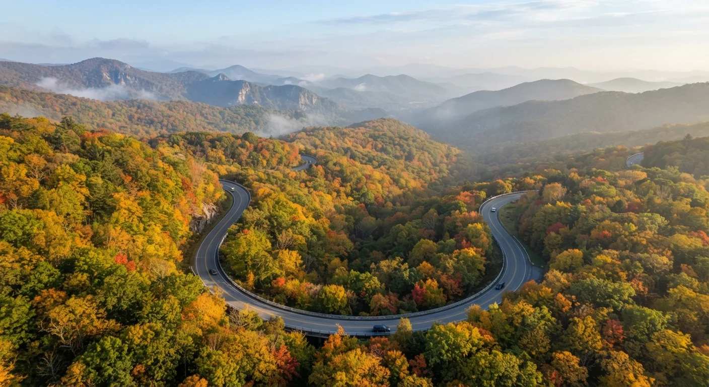
Peak fall foliage on the parkway doesn't happen everywhere at once. High-elevation sections (above 4,000 ft) typically peak in late September to early October, while lower elevations don't reach peak color until late October or early November. Planning a southward drive in mid-October lets you chase the color wave down the mountain.
Practical Planning Tips
The parkway's beauty comes with a practical reality: services are deliberately minimal. Gas stations along the route are rare and often seasonal; fill up in any town you pass through. Cell service is spotty at best for long stretches, so download offline maps and the NPS Blue Ridge Parkway app before you leave Wi-Fi range.
Speed limits max out at 45 mph, and most travelers average far less given the curves, overlooks, and wildlife crossings. Budget roughly one hour of drive time per 20 miles if you plan to stop meaningfully. A full end-to-end drive without rushing takes a minimum of five days; many experienced parkway travelers recommend seven to ten.
Camping is available at several developed campgrounds along the route — first-come, first-served at most locations — and backcountry camping requires a permit. There is no entrance fee for the parkway itself, though some adjacent attractions (Grandfather Mountain, for example, which is a private park adjacent to the route) charge admission.
Always verify current road closures with the official National Park Service website before your trip, especially outside the core summer season. Conditions can change quickly at elevation, and sections can close with little notice.
NPS Blue Ridge Parkway Road Closures Map
The official National Park Service road status tool shows real-time closures by section. Essential for planning each day of your drive, especially outside summer.
Blue Ridge Parkway Association Visitor Guide
The nonprofit Blue Ridge Parkway Association publishes a free annual visitor guide with milepost-by-milepost attraction listings and lodging options near the corridor.
NPS Blue Ridge Parkway App
The official NPS app includes offline maps, audio tours, and overlook details — download it before you lose cell service on the route.